North River Geographic
Systems Inc
Your Spatial Data Mechanics
Contact us for Support
News, Thoughts, and Geo
Ramblings on Geospatial, Life, and Canoeing.
TNGIC 2024
So - if you're coming to the 2024 TNGIC (TN Geographic Information Council) meeting (April 9-11 2024) to talk about how no one understands what you do......I'm doing a workshop. What workshop? It's a new workshop. QGIS and LIDAR data. As to what I do with the class...
iNaturalist and QGIS
I am probably the worst for being able to properly name "things". There are big trees and little trees. There are the annoying bugs and the not so annoying bugs. There are ducks, birds, bigger birds, and the birds that hang out at my bird feeder. As much time as I...
Mergin Maps and DB Sync
I don't know if I would label this exercise as fun but I've learned alot. I don't do a ton of data collection these days. At one time a few years ago I was out in the field with Fulcrum, a laptop, and sketchy internet for days at a time. These days I'm hardly ever...
Montana
I said this year I was cutting back on conferences....and then someone called from Montana. I am headed to Montana to teach the Intro to QGIS Class. I'll be doing that Tuesday April 16th - it will be the 1/2 day edition. At some point I'll also be speaking. That...
PostgreSQL Notifications and QGIS
This usually turns up in the QGIS world every two years - So it's my turn to talk about it. This month I did an emergency install of the TN 911 database. Basically client had a problem, we solved it in the most elegant way possible, and I'm still sorting out a few...
First install of the new TN 911 Database
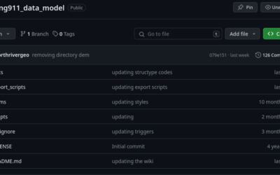
If you're just tuning in I built a postgis database for the TN NG 911 project. What this has turned into is "small counties who can't/don't want to run with an ESRI solution". I posted the code up on github (and I realize every day I suck at github). So what did I...


